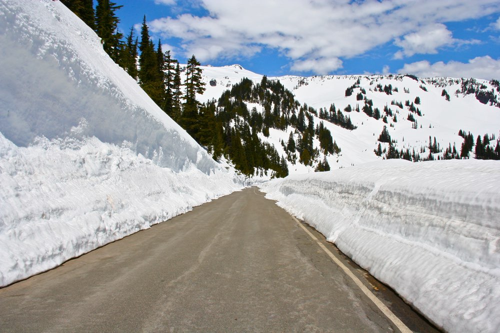
As most everyone around the western states knows, this winter has been beyond disappointing for those hoping for a normal snowpack. Mountains across the region, from the Rockies and the Cascades, to the Olympics and the Sierras, the amount of snow that has fallen in the winter of 2014-15 has been disappointing.
In the Rockies, Yellowstone National Park is seeing a slightly below average snowfall, while Rocky Mountain National Park is near normal levels. Even Grand Teton National Park is at 97% of normal snowpack, but that is where the good news stops. Aside from the highest peaks, the mountains of the west are seeing the driest year in recent memory. Crater Lake and Olympic National Park are at insanely low numbers, while Mount Rainier National Park has seen just 35% of a normal snowfall. To say this winter has been bad for snowpack is an understatement.
However, before we get too concerned for the future of snowpack, we need to look back at the winter of 2005. In a graph provided by a Mount Rainier National employee, the snowpack for the winter of 2014-15 is a mirror image of the winter of 2004-05. Mostly dry through the first half of March, the winter of 2005 was redeemed by two weeks of heavy snow that accumulated to 90 inches near the high alpine tourist area, Paradise.
Looking at the graph, it would not be unprecedented for the winter of 2014-15 to hit hard and fast before spring and summer finally takes over. I won’t hold out much hope for this to happen, but I still have my fingers crossed for one last gasp from old man winter.


