 by
by 
This week in Yellowstone National Park, from May 21st to May 27th, 2026, I will talk about driving Dunraven Pass, get a bit pedantic about Lamar Valley, and discuss how bear jams impact bear behavior. I will also give you the complete weather forecast, a cool trail to hike, the snowpack update, the wildlife report, and everything else you need to have an incredible time, “This Week in Yellowstone.”
LISTEN TO THIS AS A PODCAST
The text below is my notes for the podcast. They may be incomplete.
Apple: https://podcasts.apple.com/us/podcast/this-week-in-yellowstone-national-park/id1789397931
Spotify: https://open.spotify.com/show/41E5WWldz4s7n6NXh2Lahr
RSS: https://rss.com/podcasts/this-week-in-yellowstone-national-park/
Disclaimer: I may miss a few details, so please feel free to reach out with any questions. I also mention park locations casually. If you’re unfamiliar, a quick search can help. This report only covers drivable areas of the park.
Also, this podcast is a passion project. If you enjoy it, I’d love a review or a quick email! To support my work, check out my hiking and wildlife-watching guidebooks, or join me for a guided hiking tour in Yellowstone’s backcountry. For more information, visit outdoor-society.com or contact me directly. Seriously though, come book a trail tour with me.
EXPERIENCE OF THE WEEK
Driving Dunraven
Dunraven Pass is a Yellowstone drive that doesn’t announce itself with the same fanfare as Old Faithful or the Grand Canyon of the Yellowstone, which may be exactly why it lingers in memory. Most people view it as a crossing rather than a destination, a quick way to connect the Canyon region to Tower-Roosevelt and Lamar. The afterthought that this is a scenic drive is part of what makes it special. Driving this road, you leave one Yellowstone and arrive in another. The road threads between Tower Fall and Canyon Village, climbing to 8,859 feet through the Washburn Range, and for a stretch, the park feels less like a geothermal basin and more like high mountain country.
The southbound approach from Tower is the most atmospheric way to do it. You begin among broad northern ridges where the country still feels connected to the sage plains near Lamar, then the road starts to lift and curve. The bends are gradual at first, enough that you barely notice the gain, but then they stack on one another, and the whole horizon begins to sink below you. The trees close in, mostly subalpine fir and whitebark pine, and there’s often a resin smell in the air, especially in the cool morning. You can crack a window and smell the mountain, which sounds sentimental until you do it and realize that scent is part of the memory.
The pass is named for Windham Thomas Wyndham-Quin, 4th Earl of Dunraven, an Irish nobleman who traveled here in 1874, just two years after Yellowstone became the world’s first national park. He wrote The Great Divide, a book that introduced many European readers to the strange idea that the United States had set aside a giant landscape simply to preserve it. Yellowstone superintendent Philetus Norris later named the pass after him. That means when you drive it, you’re on a route named for one of the first outsiders who tried to explain Yellowstone to the world. The road itself followed decades later, expanded during the automobile era, and paved in the mid-1900s, though much of its alignment still follows those earlier mountain crossings.
What makes the drive geologically interesting is that it doesn’t look like the Yellowstone most people picture. The central plateau around the geyser basins is dominated by younger rhyolite from the caldera eruptions. Dunraven crosses older volcanic terrain, remnants of the Absaroka volcanic field. Those rocks are darker, richer in nutrients, and weather into soils that support thicker forests and wildflower meadows. That’s why this stretch often feels greener than expected. In July, entire slopes can be crowded with lupine, paintbrush, and fireweed. The mountain looks almost pastoral in places, which is odd for a place sitting on the edge of one of the largest volcanic systems on Earth.
There are several pullouts that deserve more than a quick brake tap. On the north climb, a few unnamed turnouts let you look back toward the northern plateau. This is one of the best ways to understand how Yellowstone unfolds in layers. You can see ridges dropping toward the Yellowstone River drainage and, beyond them, the open country leading toward Lamar Valley. In the early morning, long shadows divide the valleys into strips of gold and dark pine. The land looks huge from there, not because you are especially high, but because the terrain keeps receding into itself.
The stop that matters most is the summit parking area at Dunraven Pass itself, where the trail to Mount Washburn begins. Now, this won’t be open this week, I don’t think, but I am mentioning it for those who visit the park when it is open. Even if you don’t hike Mount Washburn, get out of the car in the parking lot and walk around, taking in the views. The temperature should be cooler. Wind moves steadily through the trees. The road noise fades quickly, and the mountain terrain dominates everything. Mount Washburn rises to just over 10,200 feet and carries a historic fire lookout on the summit. The trail starts gently enough that even a short walk changes the perspective. Within a few minutes, you can look back and see the road curling below like a ribbon pinned to the slope. It makes the engineering look improbable, as if someone decided to thread pavement into a wilderness that barely agreed to it.
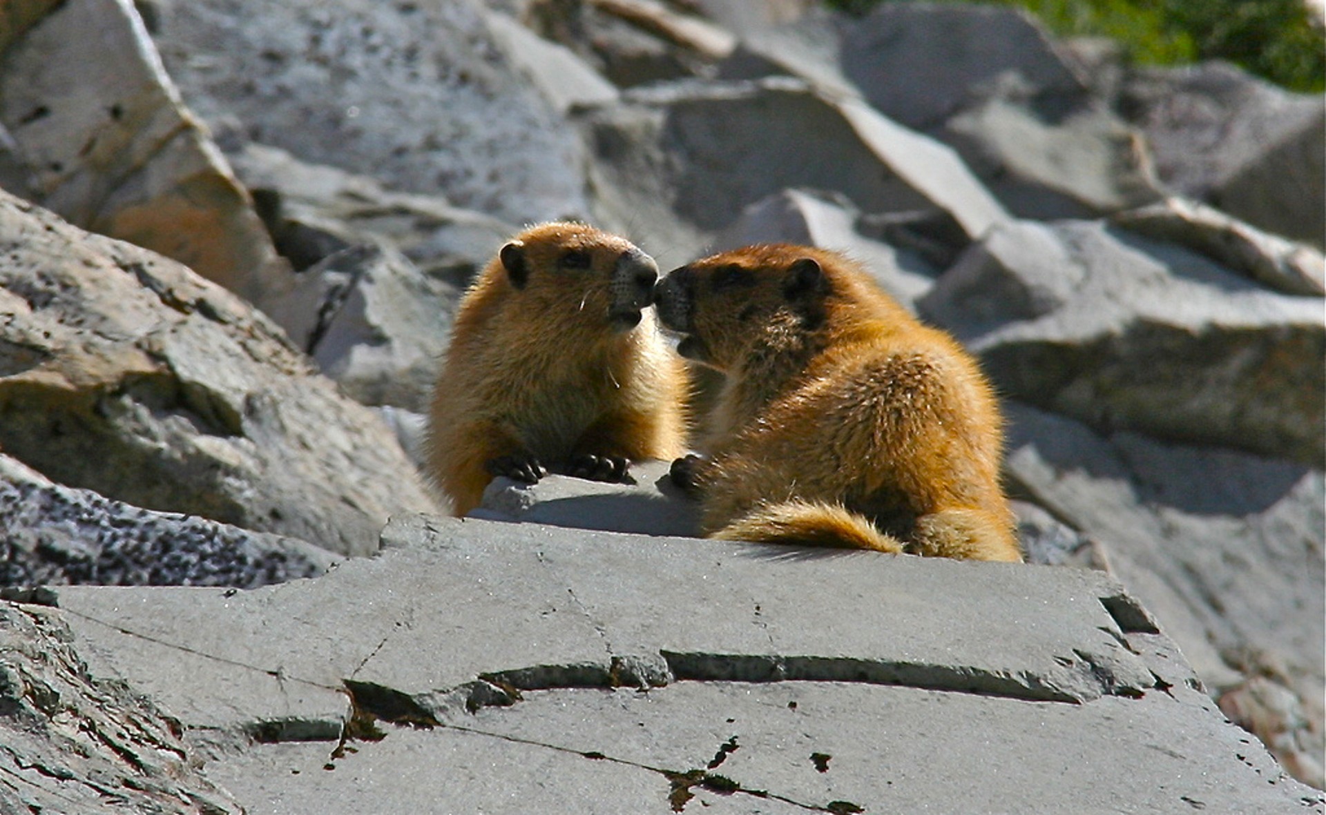
Wildlife is another part of why the drive is awesome. This is a good place in the park to spot bighorn sheep close to the road, especially around the top of the pass. They often graze in the open slopes above the road, and because the terrain is open in places, you can watch them move across the ridges instead of catching only a roadside glimpse. Black bears and grizzlies also use the area, causing numerous bear jams from late May through October. Ravens circle the thermals, and marmots whistle from the talus. If a thunderstorm moves in while you’re near the crest, the whole pass can disappear into cloud, and the road suddenly feels truly remote, and you may feel alone in the world, until a bison or something appears in the road.
The descent toward Canyon changes the mood entirely. The trees begin to become more common. At a few pullouts, the landscape opens up, and the distant plateau of Hayden Valley appears, showing the river system that carved the canyon itself. It’s one of the few roads in Yellowstone where you can physically feel the park’s different geologic features quickly. The drive becomes a kind of summary of Yellowstone’s complexity, compressed into a few dozen miles.
The best time to drive it is early in the morning or late in the day. If you leave Tower just after sunrise, the road often feels nearly empty, and wildlife may be abundant. The air is cold enough that you’ll want a jacket even in the middle of the summer. The shadows are long. If there’s any fog, it tends to collect in the folds below the road, which makes the climb feel even steeper. By mid-afternoon, traffic builds, and the pass becomes a route people hurry over. That misses the point. This is a road that rewards slowness. Pull over when it looks interesting. Walk a few steps at the pullouts. Let the silence settle.
What stays with people is not a single view. It’s the accumulation. The switchbacks. The smell of fir. The sudden appearance of sheep or bears. The way the mountain feels old in a human sense, not just geologically. Yellowstone often impresses by overwhelming you. Dunraven works by pulling you in quietly. You cross it thinking it’s simply the way from one attraction to another, then later you realize the road itself became the experience.
TIP OF THE WEEK
One Does Not Simply “Do” Lamar Valley
Over the last few weeks, I have seen an increasing trend on social media of people asking how to experience Lamar Valley. Generally, this is a fine question, but the questions continue, pointing toward a desire to find the one experience in the area so they can say they did it.
I am here to say that Lamar Valley, and most of Yellowstone, do not work that way. Yes, you can go to Old Faithful and watch it erupt, or walk to Artist Point and see the Lower Falls and the stunning scene of the Grand Canyon of the Yellowstone. You can wander the thermal areas and see the sights, but those are specific things. Lamar Valley is a huge area.
Lamar Valley has this mystique to it, after all, as everyone says, “it is America’s Serengeti.” I like to say that Lamar Valley is America’s Lamar Valley. It is without rival for wildlife watching and is always worth the trip. That being said, I think it is long overdue for an explanation of what Lamar Valley is and what you can do there.
Lamar Valley is an 8-mile long, 4 mile wide, open valley, carved by glaciers during the last Ice Age. It’s a landscape of broad meadows, rolling hills, and sagebrush flats that feels remarkably expansive. The Lamar River winds through the center of the valley for nearly 44 miles from its headwaters in the Absaroka-Beartooth Mountains before joining the Yellowstone River. Together, the river and surrounding grasslands create one of the park’s most distinctive landscapes, where wide views, moving water, and abundant wildlife all come together in one place.
I feel it is important to note that Lamar Valley is only the valley. What do I mean by this? Well, Lamar Valley commonly gets lumped in with Slough Creek, Little America, Round Prairie, and Pebble Creek, as well as most of the NE Entrance Road, making the idea of Lamar much different than what it is. Now, some will consider this to be pedantic, but location accuracy matters. This is important for a lot of reasons, one of which I was reminded about recently.
The other day, I was asked what trails are found in Lamar Valley. The answer is only one: the Lamar River Trail. This out-and-back trail starts at Soda Butte Creek and works its way into Lamar Valley. The person said I was wrong, telling me a bunch of other trails that are near Lamar Valley, but aren’t in the valley itself. I felt this was important to distinguish, because they were specifically asking for a hike in Lamar. Again, I know I may be pedantic.
So now that you know there is a single official trail in Lamar, you may still be asking what else there is to do there. In all honesty, not much if you are looking for dependable attractions and experiences. What most do in Lamar Valley is drive through it, stopping at pullouts and scanning for wildlife. Lamar Valley is nature, pure and wild. Sometimes the valley is filled with bison, sometimes you’ll see bears and foxes, sometimes you’ll see coyotes and wolves. Other times, you’ll see nothing.
The truth is that uncertainty is exactly what makes Lamar Valley special. You do not come here to complete an itinerary or guarantee a sighting. You come because the valley is alive, and every hour can be different from the last. One morning, the hills may be empty, and the next, a wolf may appear on a ridge while bison move through the river below. Lamar rewards patience more than planning. The best way to experience it is not to ask how to “do” it, but to go there, slow down, spend time, and let the valley decide what it wants to show you.
RANDOM YELLOWSTONE FACT OF THE WEEK
One of the reasons Yellowstone National Park does not officially name its bears is that names can unintentionally change how people behave toward them. It seems harmless to call a bear by a nickname, especially when people have watched the same sow raise cubs for several seasons or recognize a large boar by a scar or distinctive coat. Yet from the park’s perspective, giving a wild bear a public identity can create exactly the kind of attention managers try to limit. A named bear becomes a destination. People begin asking where it was seen that morning, whether it is still in a certain valley, and whether they can find “that bear” again. In a park that already receives millions of visitors each year, that can translate into crowds gathering around one animal and increasing the pressure on it.
That matters because attention changes bear behavior. The National Park Service has spent decades trying to keep Yellowstone’s bears as wild as possible, meaning they continue using natural food sources and avoid learning that humans are relevant to their daily routines. In the park’s own management history, the period when bears became tourist attractions was disastrous. Bears were fed in campgrounds, congregated at garbage dumps, and became accustomed to people not as background, but as a source of food and entertainment. The result was dozens of injuries per year and many bears removed or killed after conflicts. Modern bear management was designed specifically to reverse that.
Naming can feed into a newer version of that same problem. A famous bear draws repeat visitation. People will wait at pullouts for hours, stop in traffic lanes, or drive back and forth all day to see one specific animal. The park documents that roadside bear sightings already create “bear jams,” traffic backups caused by visitors stopping to watch bears near roads. Those jams are manageable when they happen naturally. They become more intense when one bear develops a reputation and visitors actively seek it out. In that situation, the animal is no longer just moving through the habitat. It becomes the center of a human event. This is happening all over the park right now, but there are two regions where it is most intense, north of Norris and out the East Entrance.
That extra attention can lead to habituation, which is a specific biological process. In Yellowstone’s research, habituation means a bear gradually reduces its flight response because repeated encounters with people have no direct negative consequence. A bear that sees hundreds of parked cars and people with cameras may learn that humans are predictable and not immediately dangerous. That may sound benign, and the park notes habituation is distinct from food conditioning. A habituated bear does not necessarily seek food from people. Yet the practical issue is that habituated roadside bears stay visible longer, use road corridors more often, and create larger crowds. Once that cycle begins, human pressure on that individual increases.
A named bear accelerates that cycle because names create narrative. People are far more likely to drive to a turnout hoping to see “399” or “Scarface” or any animal they’ve heard about than to stop for “an adult female grizzly.” The name transforms a wildlife sighting into a personal objective. That can lead to repeated close observation by crowds, which means the bear learns that those crowds are a routine feature of its environment. Over time, the bear may spend more time near roads because roads become predictable travel routes through habitat that now contains both natural forage and nonthreatening human presence. Yellowstone has documented exactly this trend, with increasing habituated bears in roadside habitats as visitation increased.
The problem is that a bear that grows comfortable around people can also become vulnerable because the public does not always behave predictably. Visitors step too close. They move for a better photo. They cluster where the bear wants to cross. They unintentionally cut off escape routes. A sow with cubs may tolerate distant vehicles but react strongly if people approach on foot. Once a conflict happens, the consequences usually fall on the bear. Yellowstone’s management policy emphasizes preventing human causes of conflict because when a bear damages property, accesses food, or injures someone, managers may need to haze, relocate, or, in rare cases, kill it. In the park’s own wording, preventing human-caused conflict is one of the most important ways to protect bears.
When I am in the backcountry on hikes and come across a bear that tends to never be near a road, the bear is not comfortable with my presence. It may stand and smell for me. It more often than not will then run away from me. You don’t see that with bears near the road because they are used to people. Some may argue that this is ok. I am not in that camp. In fact, if you ever chat with me on a tour, you’ll find out I never call a bear by a name. For me, a bear sighting is a bear sighting, and it is always cool.
The park generally avoids official names even when visitors create them anyway. Names encourage emotional attachment, which encourages attention, which can create concentrated visitation around individual animals. That increases the chance that those bears become habituated to roadsides and people. Habituation by itself is not always harmful, but the crowds that follow a famous bear can increase stress, alter movement, and raise the risk of an encounter that changes the bear’s future. Yellowstone’s goal is not to erase individuality. Biologists know individual bears very well and track many by number for research. The goal is to prevent a wild animal from becoming a celebrity, because celebrity in a national park often means people stop seeing a bear as wildlife and start seeing it as something to pursue. That shift is often far more dangerous for the bear than for the visitor.
WEATHER FOR THE COMING WEEK
I am too lazy to type it all out, so you’ll have to listen to the podcast to get the weather forecast, or just contact me.
Apple: https://podcasts.apple.com/us/podcast/this-week-in-yellowstone-national-park/id1789397931
Spotify: https://open.spotify.com/show/41E5WWldz4s7n6NXh2Lahr
RSS: https://rss.com/podcasts/this-week-in-yellowstone-national-park/
SNOWPACK UPDATE
As of May 20th, the snowpack is around 63% of normal for this time of year. The eastern and northern ranges of the park are 76% of normal, while the western and southern sides are 48% of normal. Last year on this date, we were averaging around 85% of our normal level for the whole park.
ROADS CONDITIONS
For up-to-date information, call (307) 344-2117 for recorded information, or sign up to receive Yellowstone road alerts on your mobile phone by texting “82190” to 888-777.
CAMPING INFO
Mammoth is open. Madison is open. Fishing Bridge is open. Bridge Bay is open. Tower Opens on the 22nd. Canyon opens next week on the 29th.
WILDLIFE WATCHING UPDATE
You have to listen to the podcast to get this information. Sorry.
Apple: https://podcasts.apple.com/us/podcast/this-week-in-yellowstone-national-park/id1789397931
Spotify: https://open.spotify.com/show/41E5WWldz4s7n6NXh2Lahr
RSS: https://rss.com/podcasts/this-week-in-yellowstone-national-park/
PICK UP A GUIDEBOOK
Love what you have heard on this podcast and want more information on wildlife watching? Get a copy of my wildlife-watching guidebook to the region! Available in both ebook and paperback formats, my book will help you spot wildlife like a seasoned local. Please consider buying a book directly from me, as I make next to nothing when they are sold on Amazon. Grab your copy now at outdoor-society.com!
TRAIL ALERTS AND UPDATES
The backcountry Conditions Page is updated! I have a link to it in the show notes. That site is the easiest way to check the status of a trail you want to hike. The area around Fairy Falls, Imperial Geyser, Queen’s Laundry, and all of that is closed until further notice. Carry bear spray. Have it readily accessible and not in a backpack. Know how to use it.
TREK OF THE WEEK
Osprey Falls
In 2022, the flooding that impacted travel in Yellowstone also washed out a few trails. The Osprey Falls Trailhead was one of those paths. While it has been open for over a year now, fewer people go here than you think.
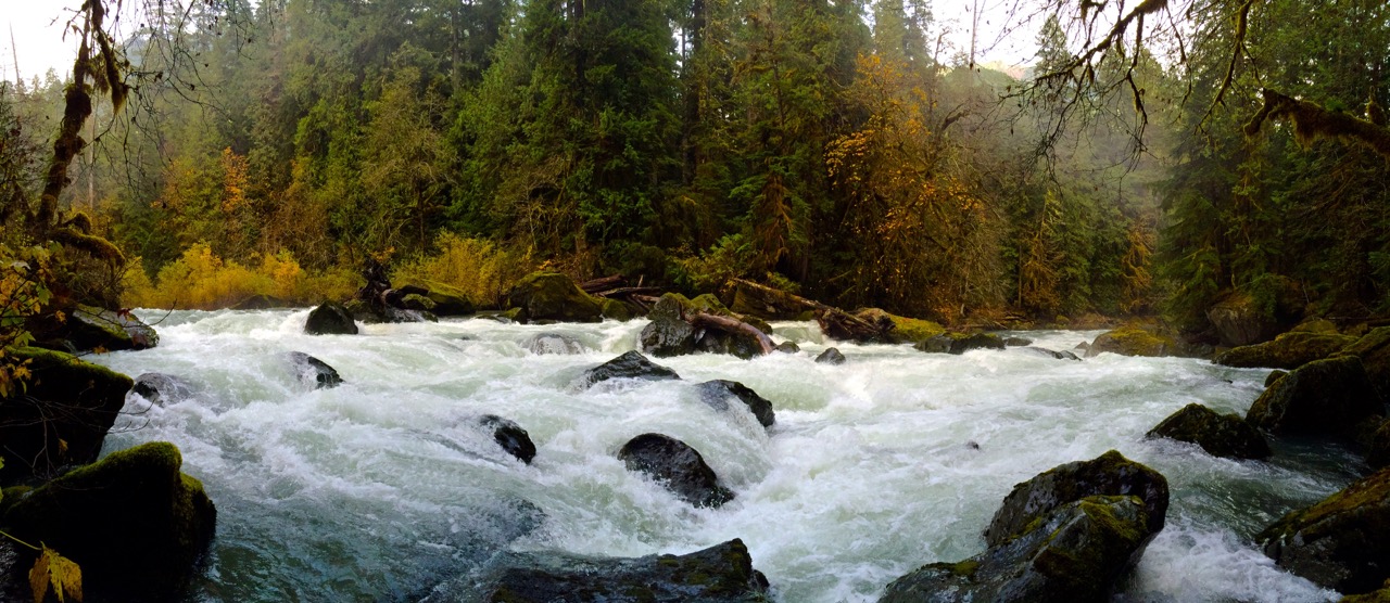
The reason I am suggesting Osprey Falls this week is that Osprey Falls, and any waterfall, is worth seeing right now because the snow is starting to melt and the water levels are rising. Rivers and creeks are running high, and waterfalls are starting to rage. We still have a month or so of melt-off, maybe, so seeing the power of the waterways of Yellowstone should take priority.
There are a few ways to reach Osprey Falls, but for simplicity and brevity, I will give the most common route. If you want the back way, send me a message.
To reach Osprey Falls, park at the Bunsen Peak Trailhead at the start of Swan Lake Flats after leaving Mammoth. Instead of turning left on the Bunsen Peak trail, follow the Old Bunsen Peak Road through grassland and burned forest for about 3 miles to Osprey Falls Trail. Once at the trailhead to Osprey Falls, descend 700 feet into Sheepeater Canyon, one of the deepest canyons in Yellowstone National Park. Osprey Falls, on the Gardner River, plunges 150 feet over the edge of a lava flow. Be aware that the trail down to the falls is incredibly steep and has some loose dirt and rock. This is not a family-friendly trail and should not be attempted by those new to hiking.
The good news is that you can see the waterfall from the top of the Osprey Falls Trailhead if you don’t want to hike down to the falls. Another awesome feature of this trail is that the Bunsen Peak Road section is bikeable, so you can hop on your gravel or mountain bike and ride it to the Osprey Falls Trailhead, giving you a much easier day.
The total distance for this hike is a little over nine miles, and you’ll gain roughly 1,000 feet in elevation, mostly from the hike back up to the road from the falls. When the snow melts enough to summit Bunsen Peak with ease, considering doing the summit and a waterfall for an 11-mile day with nearly 3,000 feet of gain.
NEXT WEEK
In the next episode, I’ll return with all of the information you need to have a good week in the park, including wildlife, weather, and trail updates. Until then, book a tour with me, pick up a guidebook of mine, and happy trails!