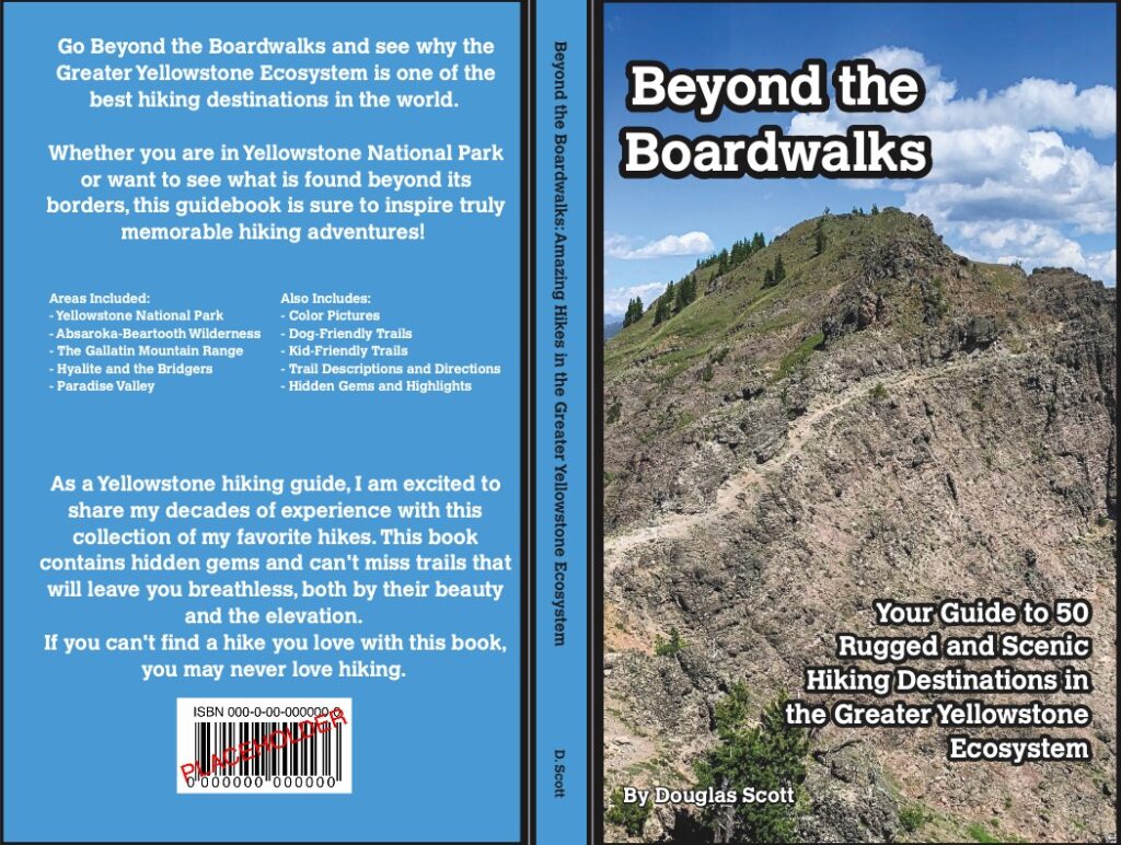
Let me start by quickly stating that the trails listed in this article are in nearly every guidebook and map of the area. They are on AllTrials, the Hiking Project, and even on National Park Service websites. They are even recommended by rangers when you ask for a hike.
The use of the words “secret” and “hidden” was done so this article would show up when you search for trails you may not be aware of. The title I wanted to use was “Overlooked Trails In Yellowstone National Park,” but let’s face it, nobody is searching with the word “overlooked.”
With that unnecessary explanation out of the way, I’ll dive into some awesome trails I am sure you will love when visiting Yellowstone.
SAFETY AND RESPONSIBILITY
One more quick thing.
Before hiking, I implore you to always leave no trace, carry bear spray and know how to use it, limit your impact on the ecosystem by staying on the trail, and follow every single posted rule and regulation. By doing this, we can all ensure the trails will be here for all, and stay in good condition. By not doing this, you will be responsible for ruining the experience of hiking in Yellowstone for all. It only takes a few people to close a trail.
THE TRAILS
The Hellroaring Loop
Distance: ~8.5 miles
Elevation Gain: ~1,300 feet
Time of Year: Spring, Summer, and Early Fall
Available as a Hiking Tour: Yes, click here for more information
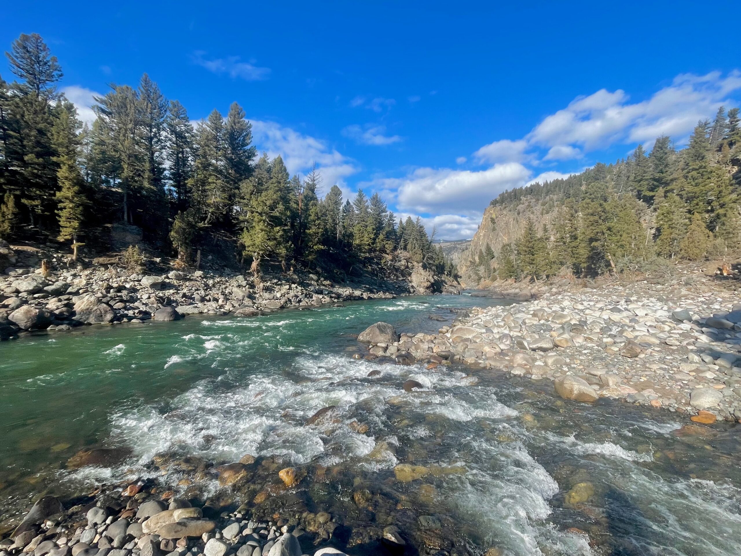
While the path down to the suspension bridge over the Yellowstone River is a popular hike in Yellowstone, few who trek down to reach the bridge venture much longer. However, those who do have an opportunity for a unique adventure. After crossing the bridge over the Yellowstone River, follow the trail down to where it meets Hellroaring Creek and then walk the boot path downstream. After a mile or two, you’ll reach the confluence of Hellroaring Creek with the Yellowstone River. After enjoying the view of the canyon and the mingling water, head uphill and trace the Yellowstone River along the canyon rim. This canyon is a spot very few ever see, so treat it with the reverence and respect it deserves. Be aware that wildlife can be prevalent on this trail.
Sepulcher Peak from Mammoth Hot Springs
Distance: ~13 miles
Elevation Gain: ~3,500 feet
Time of Year: Summer and Early Fall
Available as a Hiking Tour: Yes, click here for more information
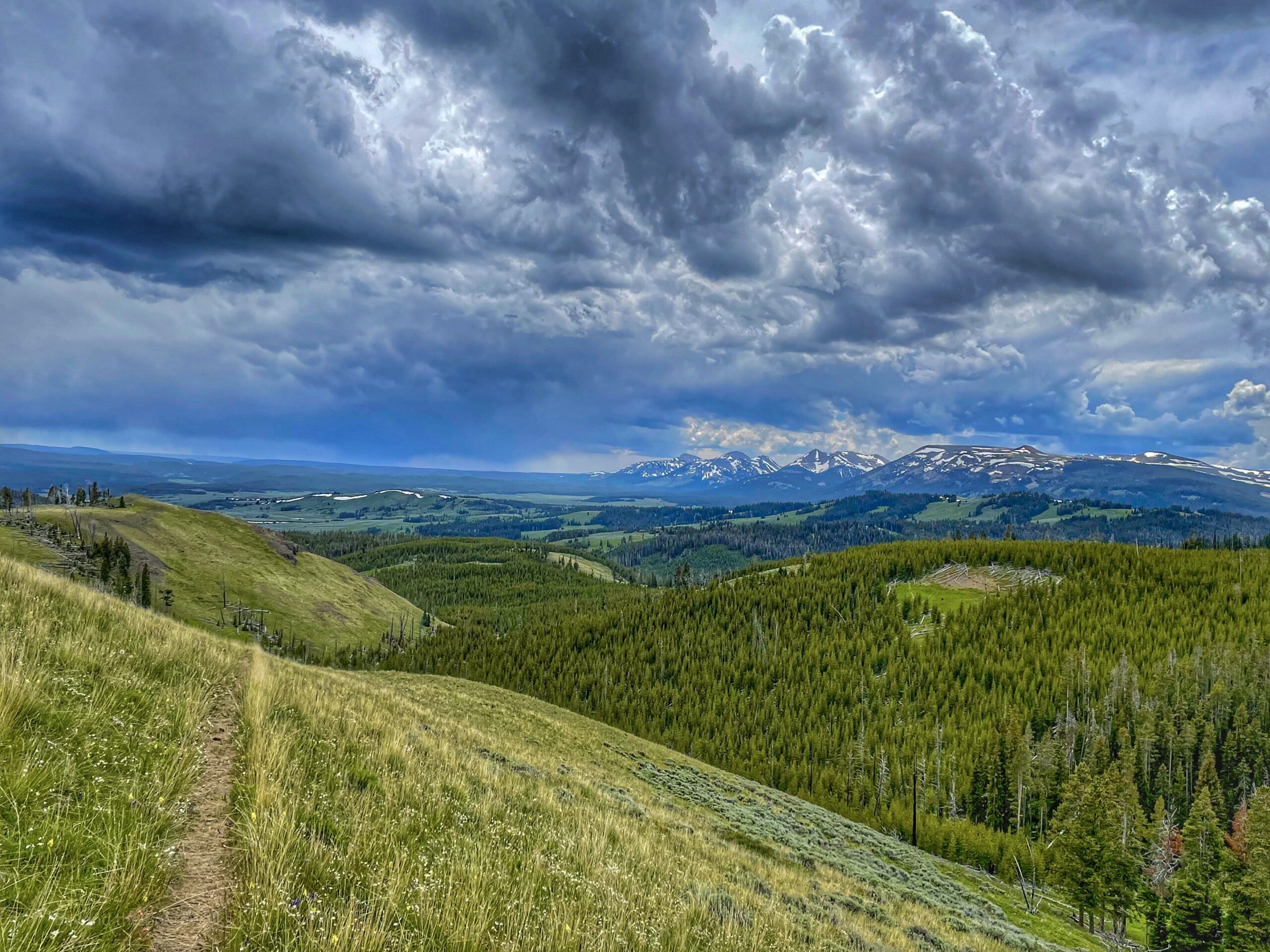
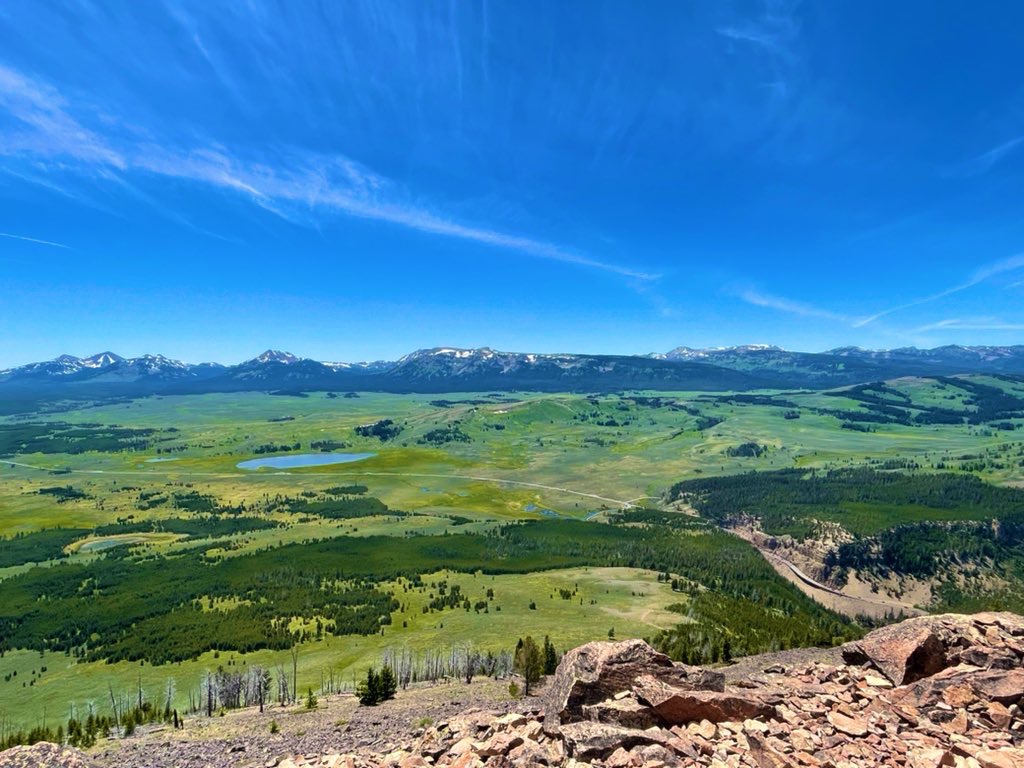
Who doesn’t crave a half-marathon distance hike with a mountain summit? If you are like me, then you are already stoked for this trail. Starting at Mammoth Hot Springs, the path up to Sepulcher climbs quickly and pretty much never stops until you reach the top. Views grow better with each mile, giving glimpses as far south as the Tetons and out toward Blacktail Plateau, before reaching the summit. At the summit, marmots dart back and forth in the rocks as you gaze in every direction. After you summit, the adventure continues, dropping down toward Swan Lake Flats before returning to Mammoth. All in all, this loop hike is absolutely perfect, just keep an eye out for bears and thunderstorms, as both are frequent.
Bighorn Peak via Black Butte Trail
Distance: ~13 miles
Elevation Gain: ~3,100 feet
Time of Year: Summer and Early Fall
Available as a Hiking Tour: Yes, click here for more information
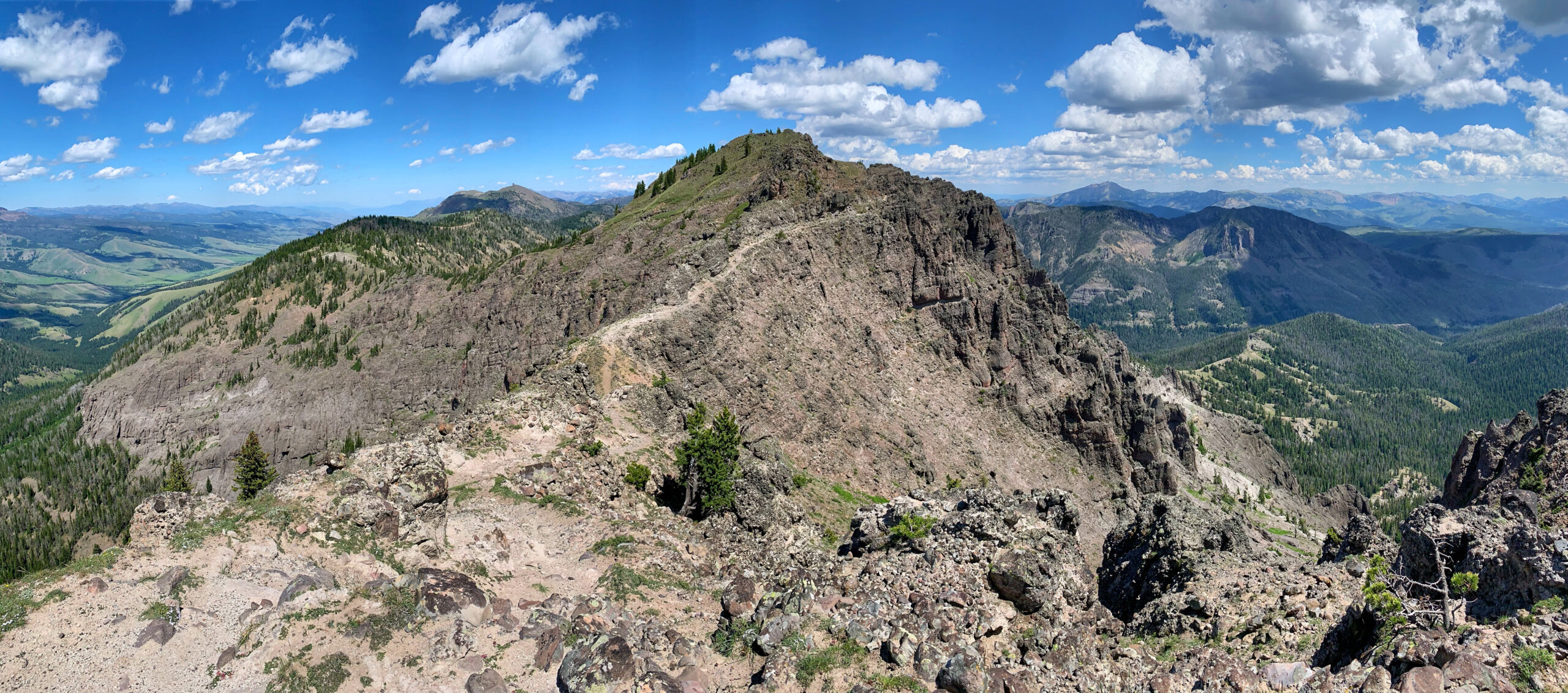
Located on the western side of Yellowstone National Park, between West Yellowstone and Big Sky, Bighorn Peak is an underrated gem. Yet another 13-mile trek, this trail is also a quad-burner, making it pretty much empty any day of the week. The path up to the summit is straightforward and can be a little monotonous, but the presence of bears should be enough to keep you engaged. After four or five miles, the trail starts to open up, giving you better views with each step. By the time you reach the last section of the trail to the top of Bighorn Peak, you’ll feel like you are on a true mountain, with craggy rocks and some steep drops around. Keep an eye open for bighorn sheep, as they are frequently in the region.
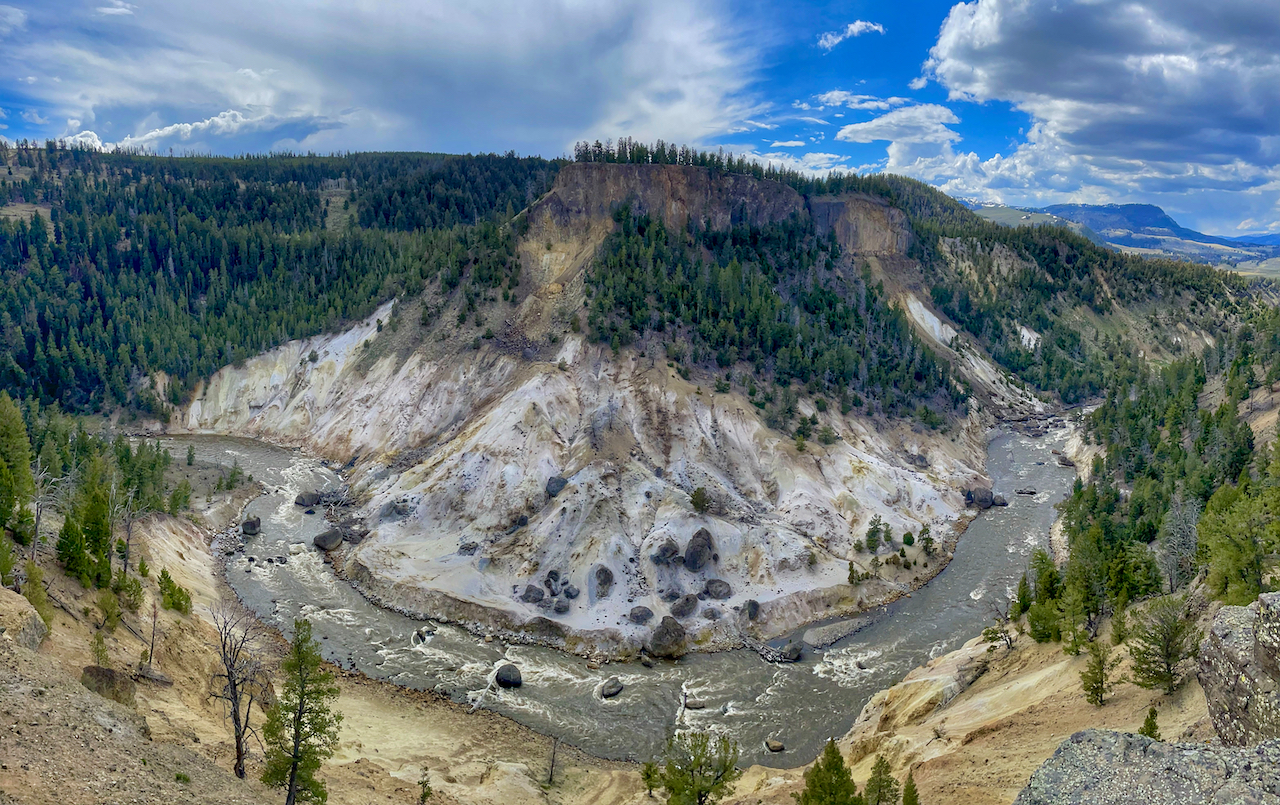
The Yellowstone River Overlook Trail via Specimen Ridge Trail
Distance: ~6 miles
Elevation Gain: ~800 feet
Time of Year: Spring, Summer, and Early Fall
Available as a Hiking Tour: Yes, click here for more information
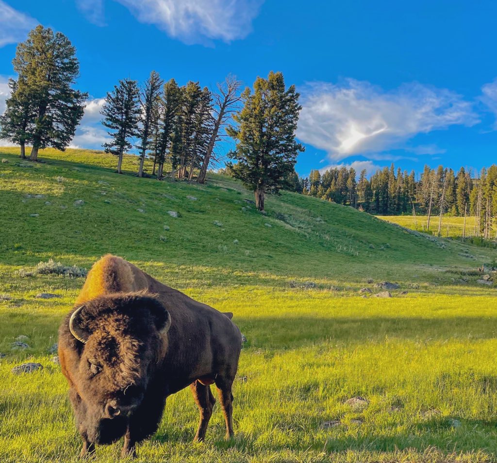
With construction closing the Yellowstone River Picnic Area until 2026, many assume that the Yellowstone River Overlook Trail is also open. While it can’t be reached from the west side, the stunning canyon views and scenic trek can still be reached from the western end of the Specimen Ridge Trail. The path is pretty simple to follow, tracing the Specimen Ridge Trail to a junction, which you’ll turn right on. From here, the path skirts along the top of the canyon rim, giving you a chance to see unique views of the Yellowstone River, as well as a cool vista above Calcite Springs. Keep an eye out for bears, bison, and bighorn sheep on this trail, as I often see them here.
Seven Mile Hole and Washburn Hot Springs
Distance: ~10 miles to 13 miles
Elevation Gain: ~2,300 feet to ~2,500 feet
Time of Year: Summer and Early Fall
Available as a Hiking Tour: Yes, click here for more information
Near Inspiration Point in the Grand Canyon of the Yellowstone River, you’ll see a large boulder next to the narrow road. This is the starting point for an enjoyable trail. Along this path, which is mostly flat until you drop down to the Yellowstone River, you’ll walk near bear management areas, pass huge clearings with views of Mount Washburn, and even have an opportunity to see and smell a remote hot springs area. You’ll also have an opportunity to hike along the Grand Canyon of the Yellowstone River, spot a remote waterfall, walk through a lesser-known thermal area, and even stand along the riverbank. The only thing missing from this trail is a view of the Lower Falls of the Yellowstone River.
Bunsen Peak from the Back
Distance: ~8 miles
Elevation Gain: ~1,900 feet
Time of Year: Spring, Summer, and Early Fall
Available as a Hiking Tour: Yes, click here for more information
Bunsen Peak has grown in popularity over the last few years, but for good reason. From the top of Bunsen, you get commanding views of the NW corner of the park, as well as a decent chance for spotting wildlife. What makes the Bunsen adventure even better is to hike it as a loop. Instead of following the traditional route up the mountain right away, hike the old road around the peak. By doing this, you escape what could be a busy trail and reward yourself with some solitude in the prairie. Eventually, the path along the old road runs along the top of the Gardner River, giving river views as you trek. Once you meet the trail to the summit, you may be tempted to head up. Consider hiking the old road a little longer to get a great view of Osprey Falls. The Osprey Falls trail is closed, but the view here is well worth the short detour. After seeing the falls, head up the lesser-traveled path to the summit and enjoy the views.
Imperial Geyser from the Fairy Falls Trail
Distance: ~7 miles to ~8.5 miles
Elevation Gain: ~400 feet to ~600 feet
Time of Year: Summer and Early Fall
Available as a Hiking Tour: Yes, click here for more information
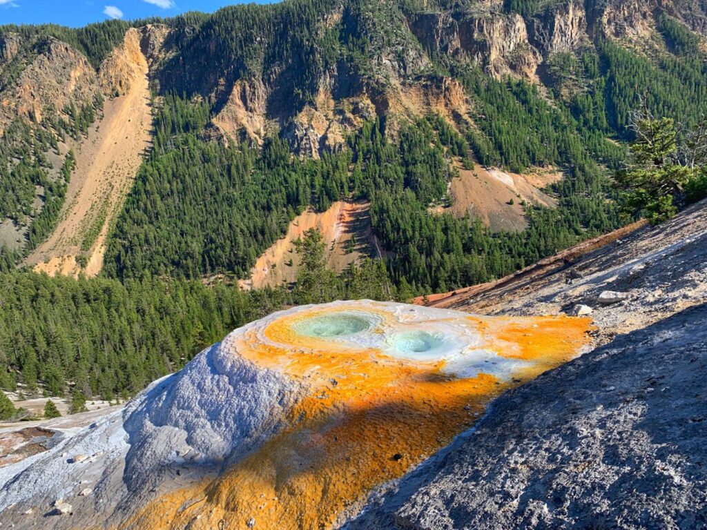
While the path to Grand Prismatic Overlook and Fairy Falls is well-known, few wander just a little longer to reach the Imperial Geyser Basin. After climbing a short hill to be dazzled by the stunning sights at the overlook, the trail levels out to get to Fairy Falls, which is always scenic and worth the trek. Beyond the falls, the trail to Imperial gets a little muddy and wet, eventually skirting a creek and leading you to a gorgeous thermal area. Depending on the season, you may see mud pots, geysers, and hot pools, each unique and special. Be aware that this area is open without many warning signs or barriers. Stay far from thermal features, as they have killed numerous park visitors.
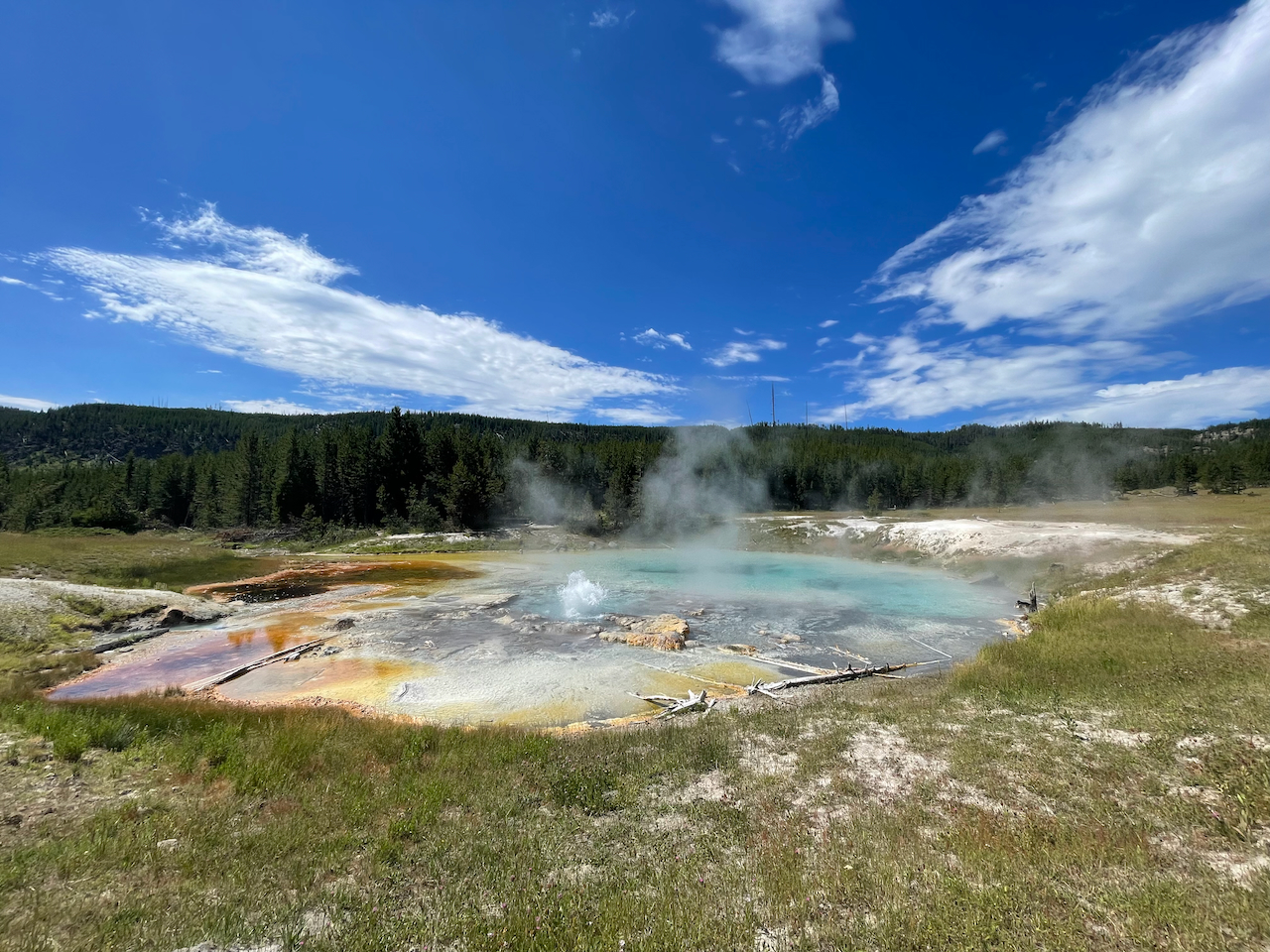
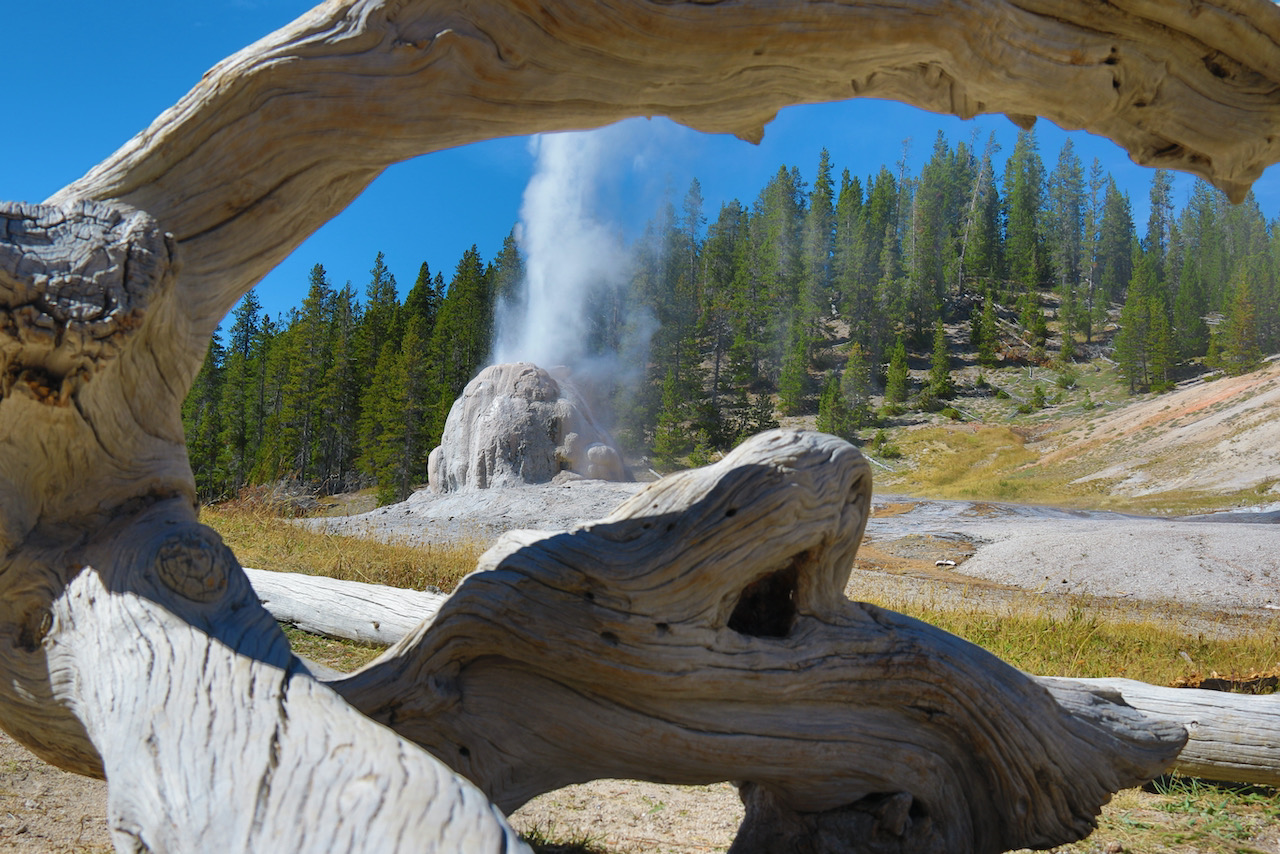
Lone Star Geyser
Distance: ~5.6 miles
Elevation Gain: ~ 75 feet
Time of Year: Late, Spring, Summer and Early Fall
Available as a Hiking Tour: No
While well-known in some hiking circles, Lone Star Geyser is a fantastic trail for hikers of all ages and abilities. Flat, well-maintained, easy to follow, and super wide, heading to Lone Star is a great first trip into the backcountry of Yellowstone. Lone Star erupts every three hours or so, making it a good spot to hike to and enjoy a picnic lunch, or to just sit back and enjoy the scenery for a bit between eruptions. What makes this trail even more fun for all is that it is one of the few trails in Yellowstone that allow bicycles.
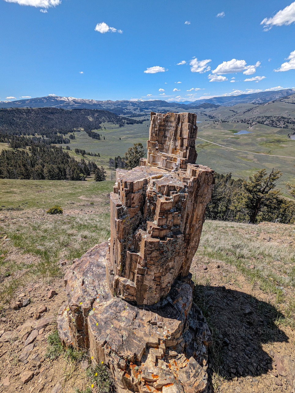
Specimen Ridge Petrified Forest
Distance: ~4 miles
Elevation Gain: ~1,800 feet
Time of Year: Late, Spring, Summer and Early Fall
Available as a Hiking Tour: No
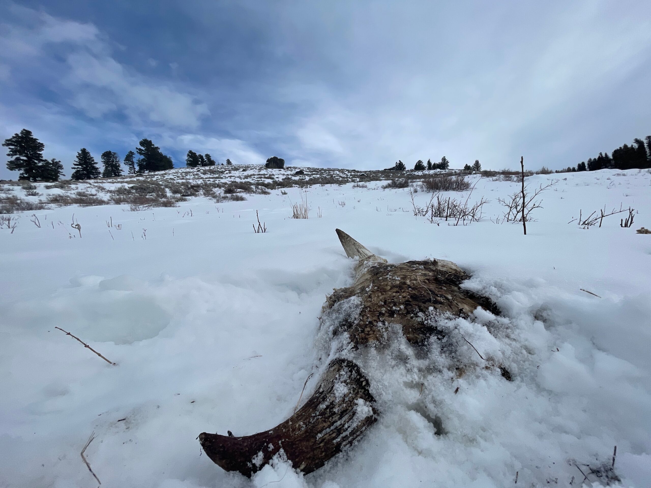
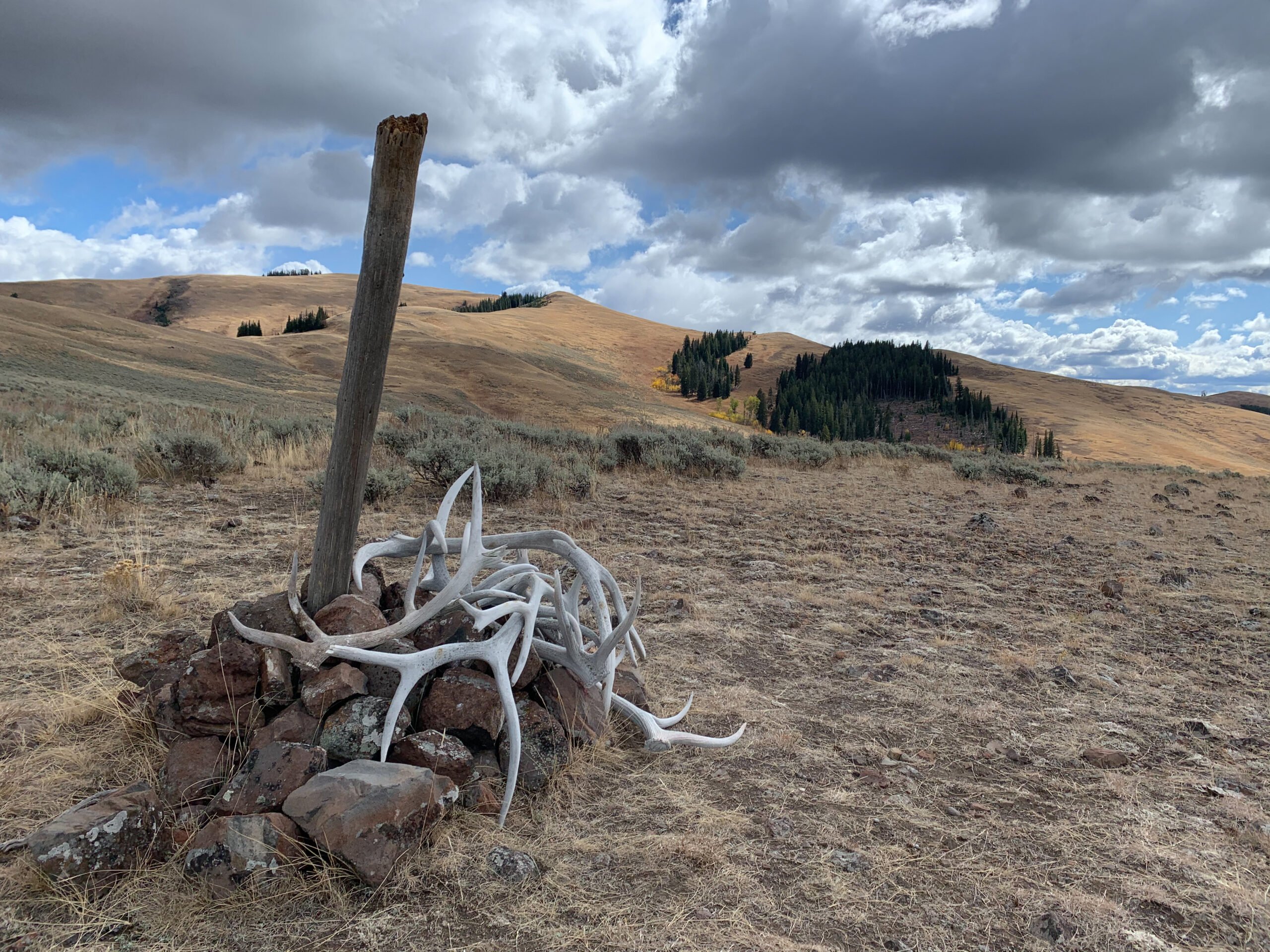
Are you looking for a short, steep, and sweet hike? This one is for you. Located near Slough Creek, this trek heads straight up the side of Amethyst Mountain, leading you to some pretty awesome petrified trees. Unlike the well-known petrified tree near Roosevelt, these trees are not in cages. Follow the well-established boot paths to see trees lying down or still standing. Along this trek, you’ll also get sweeping views of the region known as Little America, where bison, elk, pronghorn, bears, and even wolves roam. As with everywhere in the park, do not remove any rocks, bones, or antlers when you encounter them. Feel free to touch them, but always leave them where they are.
NEED MORE HIKING OPTIONS?
If you want even more of my favorite trails to the region, I have written a guidebook with over 50 hikes in and around Yellowstone. The stunning trails of the region are not limited to the park boundaries of Yellowstone National Park, which I cover well. My book also highlights spectacular hikes outside the park in the Absaroka-Beartooth Wilderness, the Bridger Range, and the Gallatin Mountains. Trust me when I say the hikes in my book will keep you enchanted on the trails for years.